Every source shown.
Every figure carries its election year and its source. Coverage documentation sits beside the data.
 Akashic Intelligence
Akashic, by Akashic Intelligence
Akashic is a premium public atlas of American elections. Open any state, county, congressional district, or metro and read its record: results mapped, compared across time, and sourced to the figure.
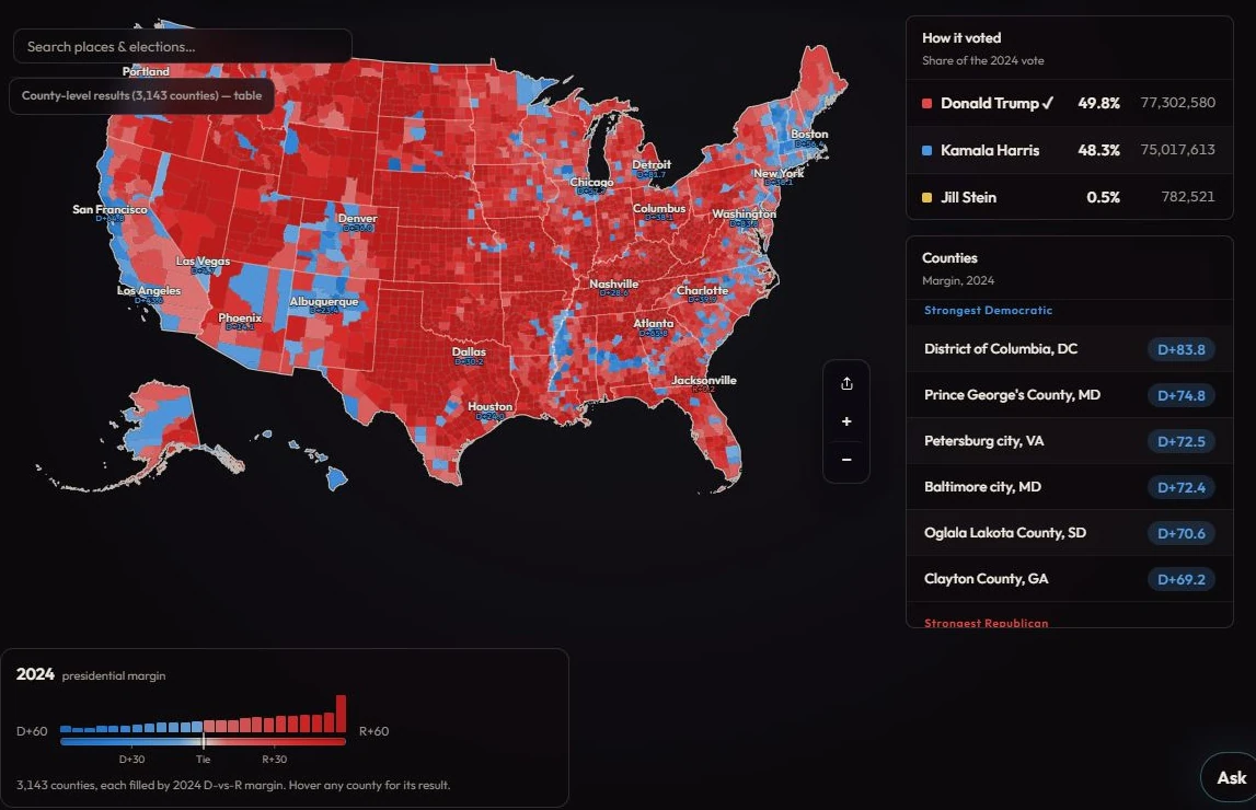
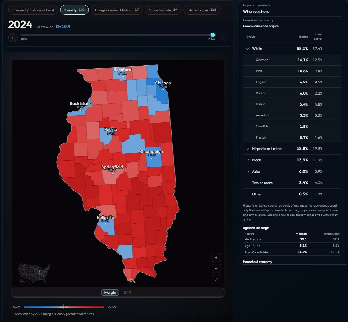
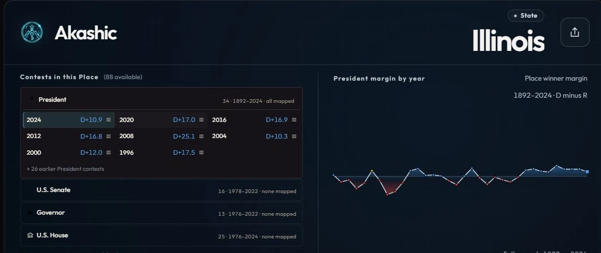
Each place page gathers a place's election history, its shifts over time, and the people and households behind the results. Move from the national map to a single county and back without losing the thread. Place pages are public and open to everyone.
Official lines rarely match the question. Create a Place lets you draw the geography you actually care about, whether a neighborhood, a media market, a proposed district, or a cluster of precincts, and rebuilds its election results from census-block data. It works for elections with precinct-level returns.
For organizations with a defined need, we build on Akashic directly: custom place sets, datasets cut to your geography, embeds for your publication, and research on a specific question. Scope and outputs are agreed before work begins.
Place agents are custom AI agents grounded in a single place's record. Ask one about its history, its turning points, or how it compares with its neighbors, and get answers drawn from Akashic's sourced data. Place agents are in development.
Every figure carries its election year and its source. Coverage documentation sits beside the data.
Margins tell you who won. Raw vote counts show how the electorate itself grew, shrank, and shifted. Akashic keeps both in view.
Historical depth varies by place and period. Where the record is thin, Akashic says so.
Context for questions about political change.
The places and history behind a larger story.
The electoral record of the ground you work.
Documented data interfaces and embeds for your own products.
Start with a place page. For a custom build, a dataset, or a research question, tell us what you need.